United States Geography
This year for history we are studying the United States, to round out this study, we are also doing United States Geography, American Composers for Music and American Artists and Art for Art.
For geography rather than investing in a curriculum, I thought I would come up with my own. So I created a report page for each state:
The students put the name of the state he/she is studying on the top line. They cut out a blackline map of the state and mark the state capital on it. They find out information about the state either through the encyclopedia or online and answer the questions. They color in the state that they are studing in the miniature map of the United states. They then color the blackline flag that I printed out and glue it to the appropriate box. We also check out books out of the library for each state (if I prepare in advance). One series that I have found that I like for studying the American Colonies is the "Fact Finders: American Colonies" series.
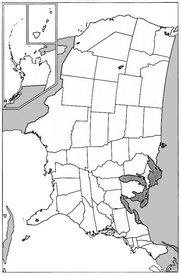
I also printed out a full page size of the United States. Every time we study a state, we color it on our big map.
Here are some great links for information, blackline maps etc.:
EdHelper Theme Units
ABCteach Blackline State Maps
USA Quick Facts
About Geography
About Blackline State Maps
ABCteach State Flags
Enchanted Learning State Flags (Both color and blackline)
Full page size map of the USA
For geography rather than investing in a curriculum, I thought I would come up with my own. So I created a report page for each state:
Place Map of State Here Mark the | |
State Nickname Date Founded: Date Entered the |
|
State Flower: State Bird: State Motto: | State Flag |

The students put the name of the state he/she is studying on the top line. They cut out a blackline map of the state and mark the state capital on it. They find out information about the state either through the encyclopedia or online and answer the questions. They color in the state that they are studing in the miniature map of the United states. They then color the blackline flag that I printed out and glue it to the appropriate box. We also check out books out of the library for each state (if I prepare in advance). One series that I have found that I like for studying the American Colonies is the "Fact Finders: American Colonies" series.
I also printed out a full page size of the United States. Every time we study a state, we color it on our big map.
Here are some great links for information, blackline maps etc.:
EdHelper Theme Units
ABCteach Blackline State Maps
USA Quick Facts
About Geography
About Blackline State Maps
ABCteach State Flags
Enchanted Learning State Flags (Both color and blackline)
Full page size map of the USA


Comments